
Contents
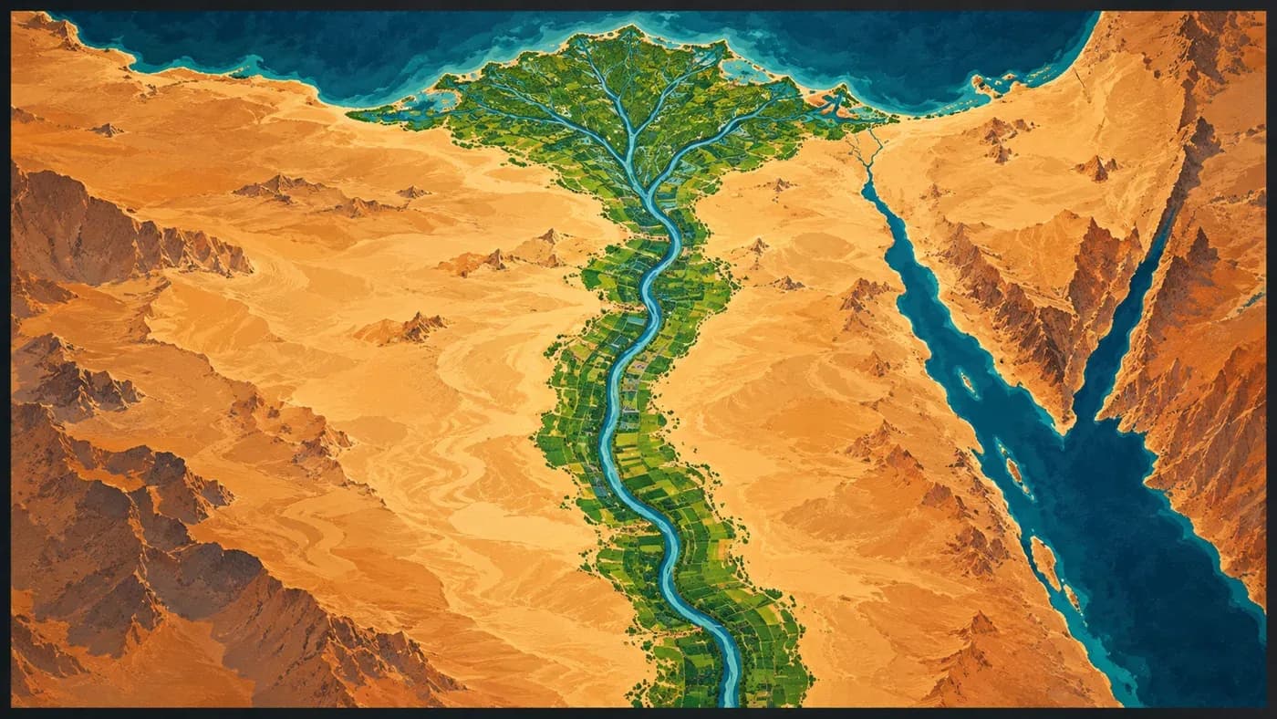
In short: The game-independent map tool in the MKA Engine repository produced no farmland cover along the Nile Valley and delta in a Mandates of History map for the 1444 start. The earlier layer, based on rainfall and vegetation, missed irrigated farming in dry regions. We began using a historical dataset that estimates how people used land in 1337 for dry-climate regions as well. In the threshold trial, the share classified as farmland rose from 0% to 19.4% in the Asyut Valley and from 0% to 37.8% in the delta. These are map classifications derived from the source data.
Editorial note: This diary looks back at the map trial on 28 October and the tool change dated 29 October 2026. Diary numbers follow publication order; the content date is not the publication date.
What was the problem?
This work happened in the game-independent world-map tool, not in MKA Engine’s simulation core. The tool combines a game’s sources and choices to produce map data; it does not decide how a game farms in a region or calculate its food economy.
The trial map prepared for Mandates of History had no farmland cover along the Nile Valley or delta. The earlier historical-use layer largely estimated cropland from rainfall suitability. A separate layer describing visible surface types classified the valley as grassland rather than desert, so a correction limited to desert areas did not include the Nile. The river was present on the map; irrigated farming was simply missing from its land-cover categories.
How did we solve it?
Land use estimates how people use the land; land cover describes the surface type shown on the map. The historical land-use dataset HYDE 3.2.1 estimates the share of land used for crops in selected years. Its 1337 data shows cropland around the Nile, and the map tool already used this source in other map layers.
The new rule checks only land squares in dry-climate regions. A square receives farmland cover when its estimated cropland share reaches the chosen threshold—the minimum value; ice is excluded. Wetter regions keep their existing classification, and each game chooses the threshold for its own map.
What did we see?
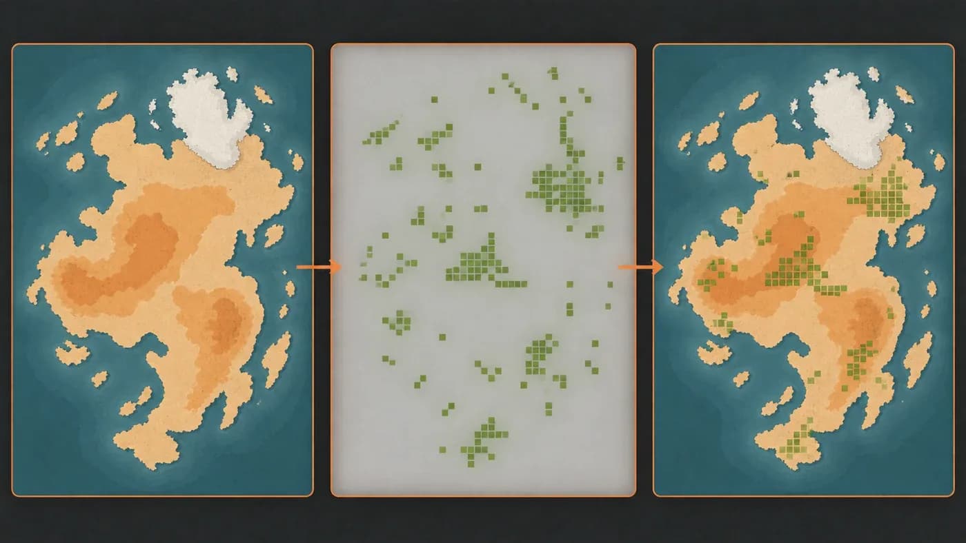
We compared several thresholds on the same map trial. At the 15% threshold used in this example, the farmland-cover share rose from 0% to 19.4% in the Asyut Valley and from 0% to 37.8% in the Nile delta. These percentages describe how map squares were classified in the threshold sweep; they do not measure exact field boundaries or the amount farmed in the game’s 1444 start year.
In the full map trial, 32,047 map squares (129,982 km² in total) changed to farmland cover. Apart from these conversions, no other land-cover class changed. The total includes other dry regions that met the threshold, not just the Nile.
Why did we choose this approach?
Climate alone does not show irrigation. Combining historical cropland estimates with the dry-climate layer let us include the valley without leaving it empty simply because rainfall is low, and without automatically turning every dry region into farmland. In the comparison, the 15% threshold opened the Nile Valley and delta while keeping changes limited in the other regions we examined, such as Sind and Khwarezm.
What does it cost?
The historical land-use dataset estimates conditions in 1337, while Mandates of History starts in 1444. The date gap and the model’s estimates are why we do not treat this as a definitive farmland map for 1444.
What comes next?
A stronger historical-accuracy claim would require comparing the new cover in dry regions against independent sources closer to the game’s start date. For now, this work shows how historical land-use estimates can help when climate and vegetation layers alone miss cultivation in river valleys.
Frequently asked questions
Is this MKA Engine’s in-game farming system?
No. This change affects the surface-cover output of the map tool; it does not set production, food, or population rules.
What do the 15% and 0 thresholds mean?
15% is the example threshold used in this map trial: a land square in a dry-climate region receives farmland cover when its estimated cropland share reaches that level. A threshold of 0 disables the rule, so it adds no farmland squares regardless of their estimated share; 15% is not fixed for every game.
Do the results show actual farmland in 1444?
No. The input is a historical estimate for 1337; the results show how that estimate classifies map squares.
Did the change affect only the Nile?
No. The 129,982 km² total covers all dry regions that met the threshold in the full trial; it is not a Nile-only measurement.
Sources and links
Sources and related docs
You may also like
- How is a strategy game's world map made?
For MKA Engine we built a 27,357-location world map of 1337 from real data: how terrain, rivers, straits, population and location borders were made.
- The road to a game engine
How we started MKA Engine: reading four games, treating determinism as law, moving phase by phase with measurements, and where we are now.