
Contents
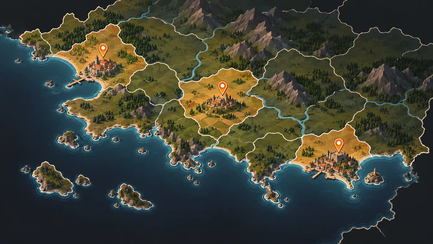
In short: MKA Engine’s map tool works separately from the game simulation. It gives selected historical centers their own map locations and one-location provinces when the markers apply in the chosen year and pass the land-distance and collision checks. Here, a province is an in-game administrative area made from one or more small map locations; a historical-center marker identifies a point that should remain distinct on the map.
Editorial note: This diary looks back at work done on 27 October 2026. Diary numbers follow publication order, so #27 comes after #26 even though #26’s content date is 30 October 2026.
What was the problem?
A map can show many cities and landmarks within a larger historical region. When that region is divided into provinces, two distinct centers can end up in the same province, so players no longer see them as separate places. In the map data we examined, centers such as Mombasa and Malindi, or Kano and Rano, could be merged within the same historical administrative area. Giving a center a point on the map was not enough; that point also needed its own province.
This article is not about how map locations are generally distributed; it focuses on keeping each selected historical center at its own location and in a separate province. That is the work of MKA Engine’s game-independent map tool, not the game simulation. The game’s own map data determines which centers matter and the years in which they apply. The tool preserves those choices in the generated map.
How did we solve it?
The tool takes the markers valid for the selected year and skips those outside it. It is like the difference between pinning a city on a map and giving it its own boundary: the pin marks the place, while the province keeps it distinct. If a marker falls in the sea, it moves to the nearest land point within the chosen distance. If land is farther away or two centers land on the same map location, the map-division step stops with an error rather than silently moving the marker.
For each year-valid marker that passes the land-distance and collision checks, the tool reserves a map location and creates a province made from that one location. That province does not merge with neighboring pieces; the rest of the historical administrative area follows the map’s usual division rules. If either check fails, the map-division step stops with an error. A final check confirms that each completed center retains its own location and province. A map package is the prepared set of map data that the game will use.
What did we see?
In Mandates of History’s 1337 map data, 34 of 37 center markers applied in the selected year and passed the land-distance and collision checks. Each of those 34 received its own location and one-location province. Four moved between 2.1 and 3.9 kilometers to reach nearby land; the other three fell outside the selected year and were skipped. These results belong to that game’s 1337 map package, not to every game map.
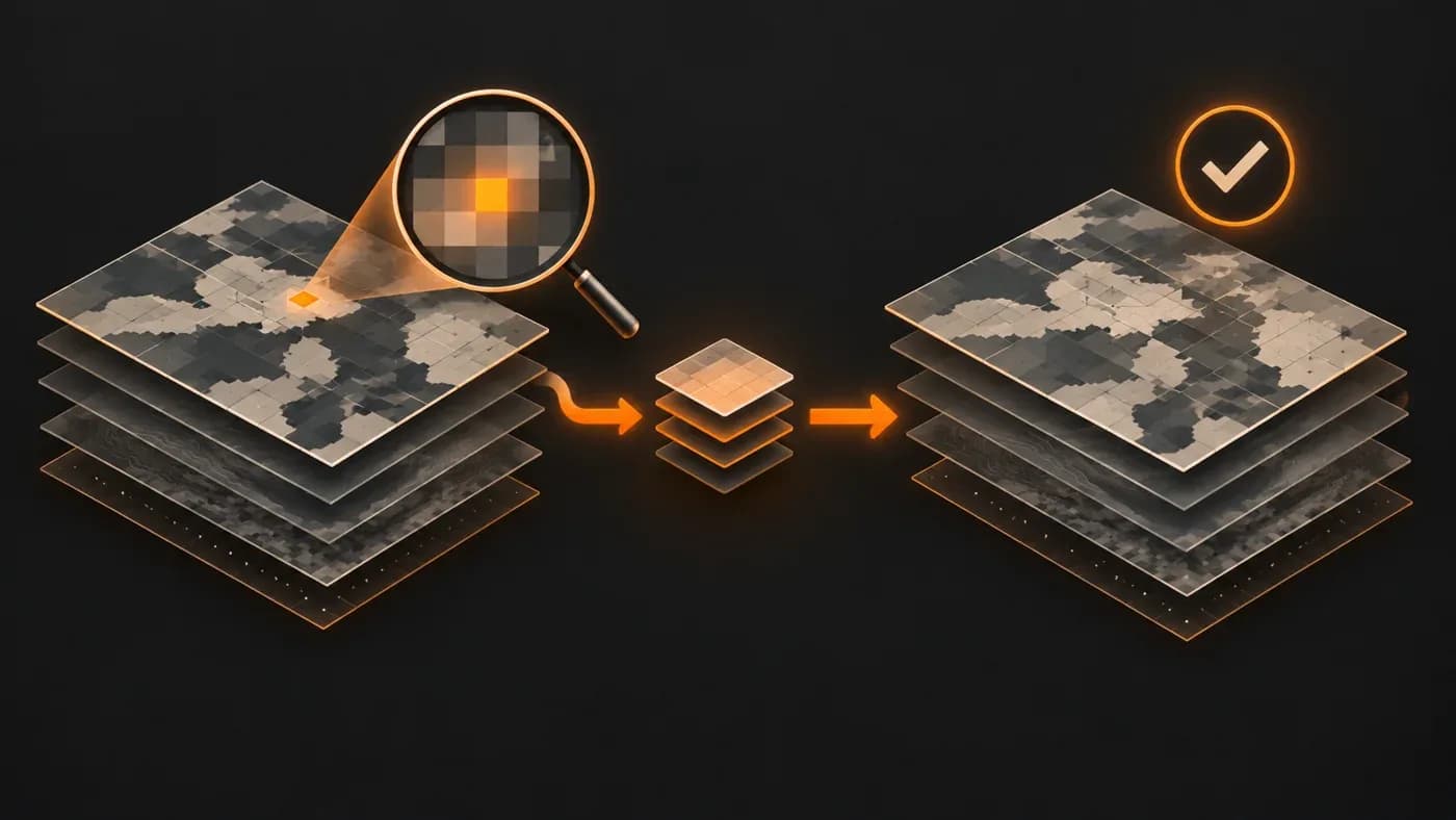
While preparing the same package, an automatic check found an unexpected value in one small square that makes up the map image. Recalculating the affected map data from the same inputs matched the corresponding data in the previous successful 1337 test package exactly; the mismatch did not recur. A one-off memory error is one possible explanation, but no hardware diagnosis confirmed it. The check stopped the package from being accepted with the mismatch, but this single incident does not show that every error will be caught.
Why did we choose this approach?
A historical center that passes the year, land-distance and collision checks remains distinct only if it survives both placement and the later division of surrounding land. Giving it its own small province keeps it from disappearing under a neighboring place as the map is divided. Checking the generated result also shows whether the map package preserves the selection.
What does it cost?
This approach creates one-location provinces for centers that pass the required checks. Markers outside the selected year are skipped; if the land-distance limit is exceeded or centers collide, map division stops. This result does not establish that every historical detail on the map is accurate.
Frequently asked questions
Does every historical center get its own province?
Only game-selected markers valid for the year and passing the land-distance and collision checks are completed; markers outside the year are skipped, while a failed distance or collision check stops map division. In this 1337 map package, 34 of 37 markers kept their own location and province.
What happens if a center marker falls in the sea or two centers collide?
A marker at sea moves to the nearest land point within the chosen distance. If no suitable land point exists or two centers share a location, the map-division step stops with an error.
Does this result prove the map is historically accurate?
No. This work checks that selected centers are preserved in the map output and that the package passes its checks; it does not assess the accuracy of the whole map.
Was the cause of the small-square data mismatch confirmed?
No. A memory error remains only a possible explanation; no hardware diagnosis confirmed it.
Sources and links
Sources and related docs
You may also like
- How is a strategy game's world map made?
For MKA Engine we built a 27,357-location world map of 1337 from real data: how terrain, rivers, straits, population and location borders were made.
- The road to a game engine
How we started MKA Engine: reading four games, treating determinism as law, moving phase by phase with measurements, and where we are now.