
Developer Diary #29: Terrain-Shaped Settlement Areas
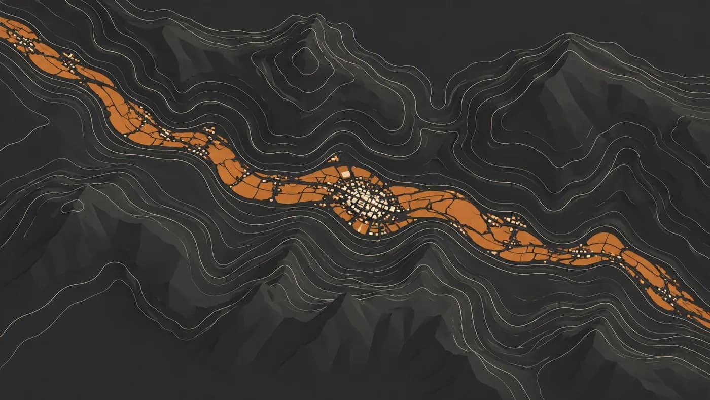
In short: MKA Engine’s game-independent map tool creates separate settled areas around settlement points in dry terrain. This diary explains how a circular reference guides a terrain-following boundary.
Editorial note: This diary looks back at a map sweep dated 28 October 2026. Diary numbers follow publication order; the content date is not the publication date.
What was the problem?
In the map tool, an “island” is not a real island surrounded by water. It is a separate settled patch around a settlement point that does not touch nearby settled areas. In dry terrain, these patches could look like perfect circles. Examples around Riyadh and Diriyah made that appearance especially clear.
In early attempts to make the outline more irregular, terrain variation used more of the same growth budget, so fewer map squares could be added. The shape could follow the terrain more closely while the intended area became smaller. We needed to separate the two decisions: the outline could change while the target settled area remained predictable.
How did we solve it?
First, we counted the land squares inside a simple reference circle around each point to set a target size. Then we expanded the patch by adding land squares that were easier to reach from the settlement. Distance and each square’s height difference from the settlement point affected which squares were easier to include; this helped a patch stay along the point’s own valley floor, basin or plateau.
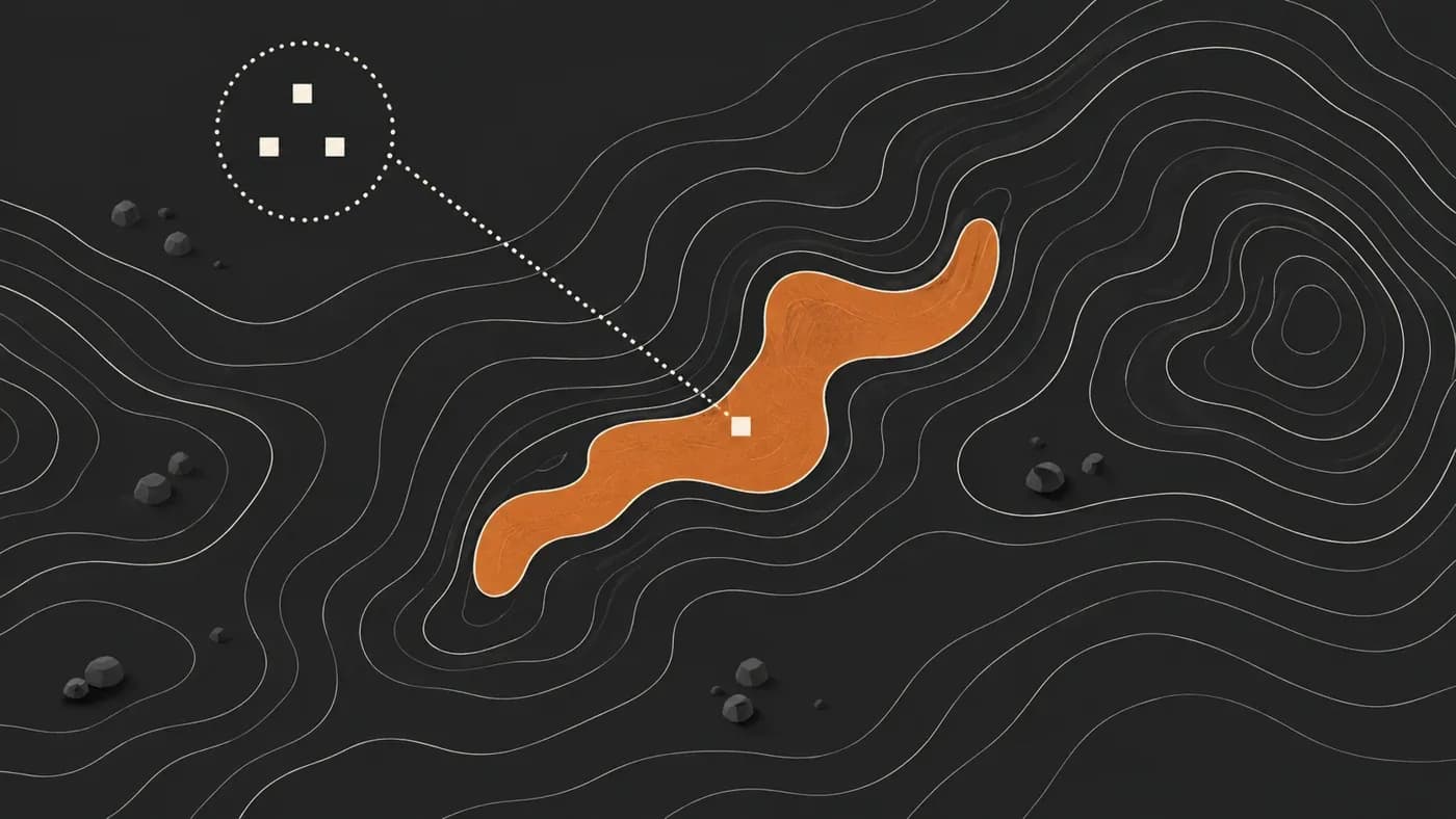
This selection also keeps the added squares connected to the center instead of forming detached fragments. The goal is not to draw the same circle everywhere, but to let the outline follow terrain while aiming for a reference area.
What did we see?
The recorded sweep compared 43 dry-terrain settlement areas from Arabia and the Sahara. The area ratio compares the number of land map squares in each patch with the land squares in a reference circle around the same point; it is not a square-kilometre measurement. The compared shape options also used different strengths of terrain variation and different emphasis on elevation, so the results do not isolate one variable.
| Measure | Earlier shape option | Area-targeting option |
|---|---|---|
| Area ratio against reference circle, median (10th–90th percentile range) | 1.01 (0.80–1.20) | 1.00 (1.00–1.00) |
| Examples that stayed in one piece | 100% | 100% |
| Largest/smallest ratio of the farthest radii in 16 slices, median | 1.37 | 4.66 |
The 10th–90th percentile range describes the middle part of the 43 examples, not the smallest and largest extremes. For the last row, we took the farthest point from the center in each of the 16 angular slices, then divided the largest of those 16 radii by the smallest. A higher value means a less circular outline; by itself, it does not show that a map is more natural or historically accurate.
Why did we choose this approach?
A settlement area does not have to be a circle. Separating target size from shape lets an outline follow features such as valleys and plateaus while aiming to keep the mapped area near its reference size.
What does it cost?
If the reach limit contains too little suitable land, some patches can remain smaller than the target. Because every square with the same cost to reach as the last selected square is included, the mapped area can exceed the target even when reach is sufficient.
What comes next?
The next verification would repeat the same measurements across other terrain types and game maps.
Frequently asked questions
Is an “island” here a real land island?
No. It means a settled map patch that is separate from nearby settled areas. The surrounding land does not have to be water.
What does “stayed in one piece” mean in the table?
The selected squares form one connected area around the settlement. The sweep showed no detached patches.
Does this change a game’s population or production rules?
This work changes the settlement-area data produced by the map tool. It does not change a game’s population or production rules.